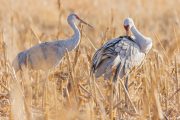
The Central Loess Hills Geographic Focus Area lies between the Sandhills and the Big Bend of the Platte River in the center of Nebraska. Grasslands cover sixty percent of the region’s 3.6 million acres. The landscape of rolling-to-steep loess hills is dissected by the broad floodplain of the Loup Rivers, whose braided channels provide nesting habitat for Interior Least Terns and Piping Plovers. The region also contains an area of tablelands with playa wetlands that are used by Whooping Cranes, waterfowl, and other birds during migration.
Native plant communities include tallgrass prairie in the wet meadows along the rivers and mixed-grass prairie in the uplands; these grasslands are nesting habitat for hundreds of thousands of grassland birds. Native mixed-grass communities still existed on steeper slopes that are unsuited to plowing and are used for grazing. However, encroachment by eastern red cedar trees poses a threat both to grazing and to wildlife habitat.
In the river valleys and on the relatively level table lands, row-crop agriculture is the principal land use. As a result, many of the relatively small, ephemeral playa wetlands have been converted to cropland.


