
News
Inundation Maps for Nebraska Conservation Land
April 4, 2025
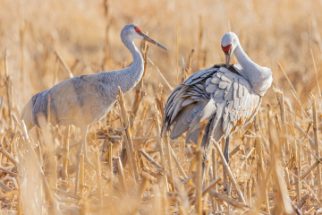
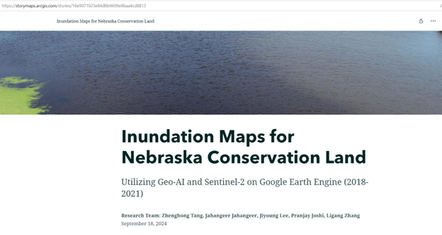 Dr. Zhenghong Tang’s Geo-AI Research Lab at the University of Nebraska-Lincoln has published a new ArcGIS Story Map to visualize the inundation conditions for conservation lands in Nebraska, including Conservation Easements (CEs), Waterfowl Production Areas (WPAs), and Wildlife Management Areas (WMAs). The Story Map is publicly accessible and will assist stakeholders in implementing effective conservation practices. This project is funded by the U.S. Department of Agriculture – Natural Resources Conservation Service (USDA-NRCS) and the U.S. Environmental Protection Agency and is a result of collaborations with the U.S. Fish and Wildlife Service – Rainwater Basin Management District, Rainwater Basin Joint Venture, Nebraska Game and Parks Commission, and other stakeholders.
This research leverages data from Sentinel satellites to create a near real-time information platform for monitoring and assessing surface water inundation in conserved land sites across Nebraska. Furthermore, the Geo-AI algorithms, the Google Earth Engine (GEE) platform, and GIS tools are used to detect, map, and analyze changes in surface water within these areas.
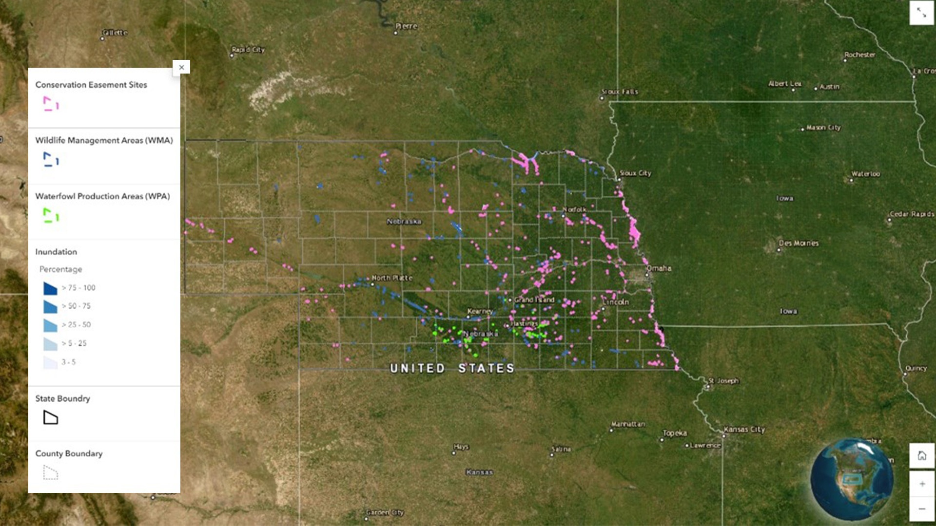 The inundation map documents the hydrological dynamics of surface water under major conservation programs—including CEs, WPAs, and WMAs—covering the period from 2018 to 2021. Further details are available in the peer-reviewed journal article:
Jahangeer, J., Zhang, L., & Tang, Z. (2024). Evaluating wetland hydrological performance under three different conservation programs in Nebraska, United States, during 2018–2021. Journal of the American Water Resources Association, 60(1), 132-147.
Here is the ArcGIS Story Map link: Inundation Maps for Nebraska Conservation Land
For more information, please contact: Professor Zhenghong Tang, Email: ztang2@unl.edu