
Habitat Regions
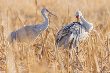
Rainwater Basin
The Rainwater Basin is a landscape of shallow playa wetlands scattered amid the flat-to-gently-rolling loess plains of south-central Nebraska. Before European-American settlement, the region contained some 11,000 wetlands ranging in size from less than an acre to over 1,000 acres.
Learn More
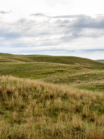
Sandhills Region
Stretching across more than 19,000 square miles of north and central Nebraska, the rolling prairies of the Sandhills region provide a glimpse of the vast grasslands that once covered the Great Plains. Beneath North America’s largest remaining grassland is a massive aquifer that feeds lakes, wetlands, and rivers in the valleys between grass-covered dunes.
Learn More
Central Loess Hills
The Central Loess Hills Geographic Focus Area lies between the Sandhills and the Big Bend of the Platte River in the center of Nebraska. Grasslands cover sixty percent of the region’s 3.6 million acres. The landscape of rolling-to-steep loess hills is dissected by the broad floodplain of the Loup Rivers.
Learn More
Missouri River Region
The Missouri River Geographic Focus Area (GFA) comprises the 125-mile stretch of the river from Ft. Randall Dam, downstream to Ponca, Nebraska. The focus area includes the active river channel and its floodplain, which contains 28,500 acres of riparian and palustrine wetlands and about 6,000 acres of grassland.
Learn More
Northeast Prairies/Elkhorn River Region
The Northeast Prairies/Elkhorn River Geographic Focus Area (GFA) covers the northeastern part of the RWBJV Administrative Area, bounded on the north by the Missouri River and on the south by the Platte River. The landscape was once covered by tallgrass and mixed-grass prairie. It still contains over 1.3 million acres of grassland and about 320,000 acres of wetlands.
Learn More
Platte River Valley
The Central and North Platte Geographic Focus Area includes the 90-mile segment of the Platte River from Lexington to Chapman – often referred to as the Big Bend – in south-central Nebraska, plus an 80-mile stretch of the North Platte River between Lewellen and the city of North Platte.
Learn More
Republican River/Blue River Drainages and Loess Canyons
The Republican River/Blue River Drainages and Loess Canyons Geographic Focus Area (GFA) is located along the southern edge of the RWBJV Administrative Area. To the east, the GFA has rolling hills, relatively flat plains, and highly productive soils along the rivers. The west contains steep hills and canyons.
Learn More
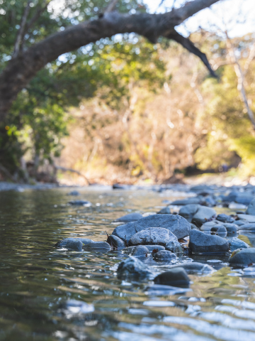
Verdigris-Bazile Creek Drainages
The Verdigris-Bazile Creek Drainages Geographic Focus Area (GFA) is located in Cedar, Knox, and Antelope Counties, along the northern edge of the RWBJV Administrative Area. It encompasses the watersheds of two cold-water streams Verdigris Creek and Bazile Creek.
Learn More